
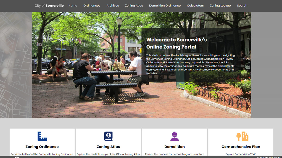
In 2022, city staff in Somerville, MA decided to convert their Zoning Ordinance into an enCodePlus portal, with the intent of adding additional documents over time. They were drawn to the system’s versatile branding options and features that would make their documents more accessible to the public.
The Zoning Ordinance has all of the standard features, such as auto-updating hyperlinked internal cross- references, pop-up definitions, and search capability, plus premium features including Development Calculators, Content Assembler, GeoZone mapping tools, and a Zoning Navigator. The Development Calculators help users calculate the requirements for Green Score, Affordable Housing needs, Linkage and Civic/Open Space Payments, and Outdoor Lighting based on statistics from their current projects. GeoZone presents an interactive zoning map that includes tools such as Land Use Lookup, District Summary, and Parcel Summary, allowing users to find permitted uses, dimensional standards, and links to relevant portions of the Zoning Ordinance based on a specific parcel. The Zoning Navigator and Content Assembler assist users in finding specific information quickly, by presenting it in an easy-to-use landing page and by gathering all regulations relating to each zoning district together.
The city’s Comprehensive Plan, SomerVision 2040, also has a home in enCodePlus, with its own Plan Navigator highlighting important portions of the plan. Future projects include providing complete historical records of both the Code of Ordinances and the Zoning Ordinance that will allow users to see the full version of each document as it existed at any point in time.
Automatically archives and provides historical versions of code sections.
A searchable chronological index tracking the evolution of your plan or code.
Automated email notice of published document updates.
Customizable calculator to determine the required quantity and price of affordable units by district, building type or other variables.
Customizable calculator for on-the-fly computing of fee amounts for application filing and permitting.
Customizable calculator to identify and quantify the credits and bonuses for use of sustainable landscape elements
Customizable calculator for on-the-fly computing of acres of land or fee in-lieu of land dedication for parks, schools, etc
Customizable calculator for on-the-fly computing of landscaping material types and quantities by location.
Customizable calculator to determine the total allowable lumens by district and per building entrance/exit/façade and outdoor café/display area
Customizable calculator for on-the-fly computing of sign types, areas, heights and locations by district.
Secure document storage and retrieval system. Search ordinances by number, date or keyword.
Collation of content related to a specified topic. May include icons placed in headers, tables, or other parts of the document for quick identification and reference.
Fully customizable websites with branding, messaging, images, videos, color schemes.
Comprehensive glossary with 40,000+ (and counting) planning and zoning terms. Regularly updated.
Optimized mobile and desktop document reading with navigation, printing, linking.
Esri-based GIS map application designed for planning and zoning queries, analyses, and display.
Style of online presentation to organize content in an easily accessible, visually compelling way.
GIS map of districts where specific land uses are permitted by-right or by condition or special exception.
Organizes plans, ordinances and other document types into understandable sections and categories. Also referred to as Plan Navigator and Zoning Navigator.
Advanced user training to build technical competence on use of the platform.