Level-Up Zoning Practices with Integrated GIS Features
Table of Contents - Integrated GIS
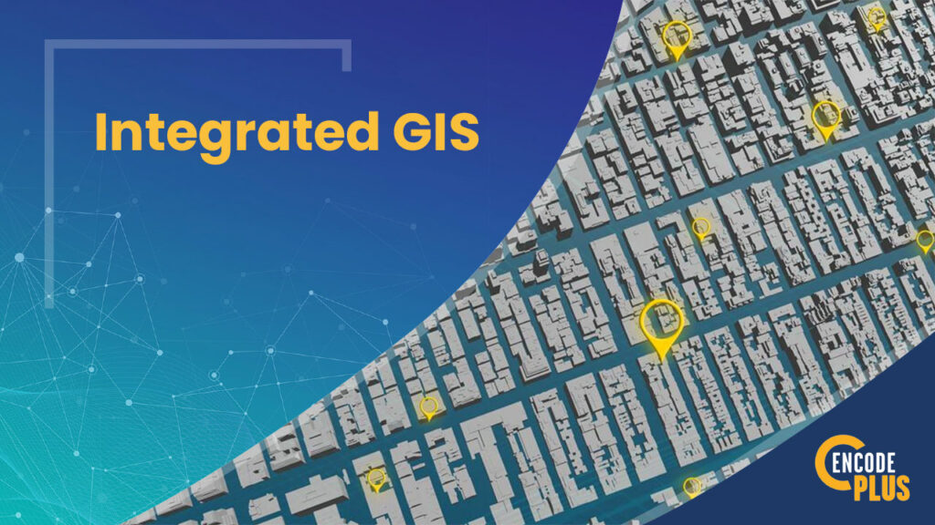
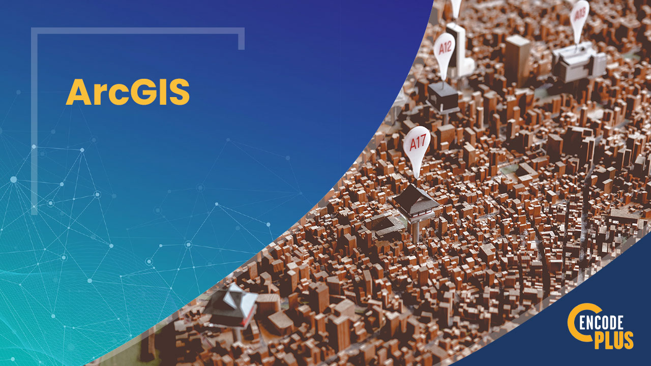
Leverage the Enhanced Functionality of GIS to Build Superior Zoning Regulations
Unlock streamlined management tools and a better user experience
Step into the future of Esri-powered GIS technology and harness the features and capabilities of ArcGIS Urban.
The world of 2D site and land use plans and building elevations is becoming antiquated.
Imagine reviewing development plans in 3D or visualizing a new corridor or redevelopment site or area.
COMPLETELY TRANSFORM THE WAY YOU VISION, PLAN AND ZONE
It’s a win-win for public officials and staff, concerned residents and development applicants.
Projects can be clearly understood, impacts measured, and decisions well-informed.
Staff can tap into game-changing tools that allow them to build and communicate the details of a master plan, regulation or improvement like never before.
Esri-powered scenario-planning tools and inherent 3D capabilities enhance on-the-spot visualization and data analysis.
This affords a more comprehensive understanding of plans, ordinances and projects, together with their ramifications for nearby properties, neighborhoods, streets and institutions.
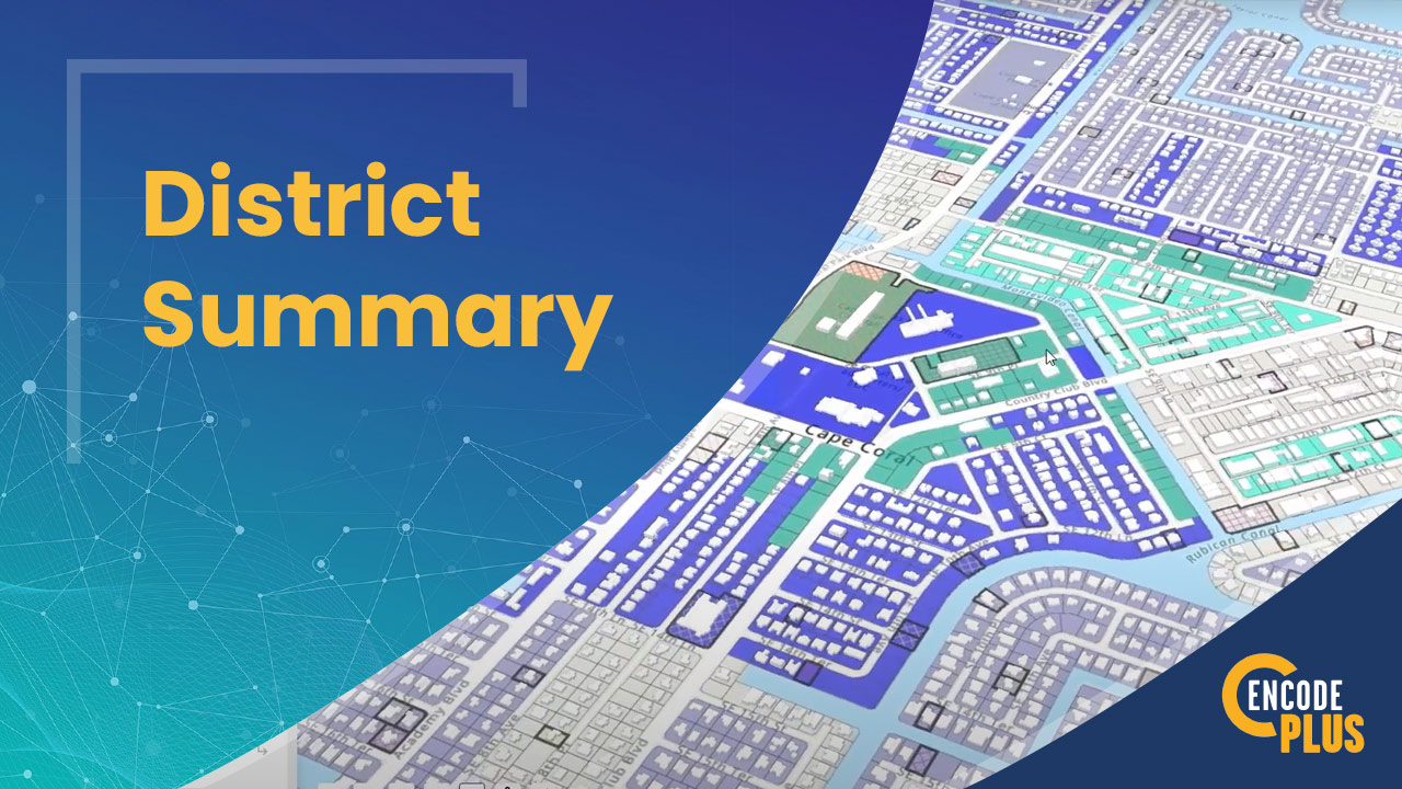
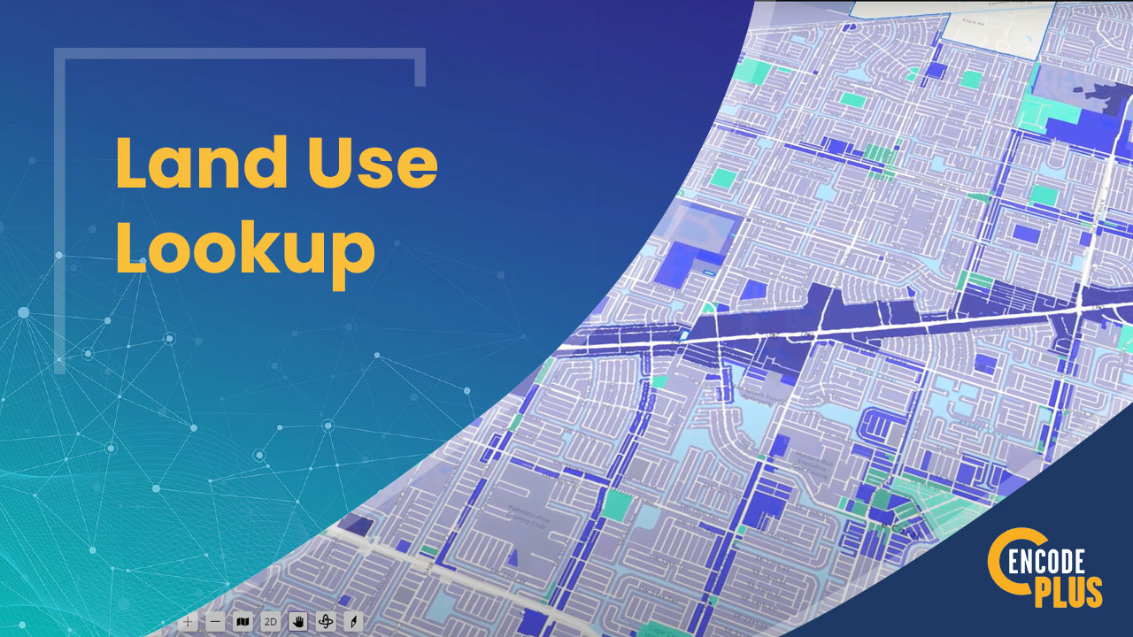
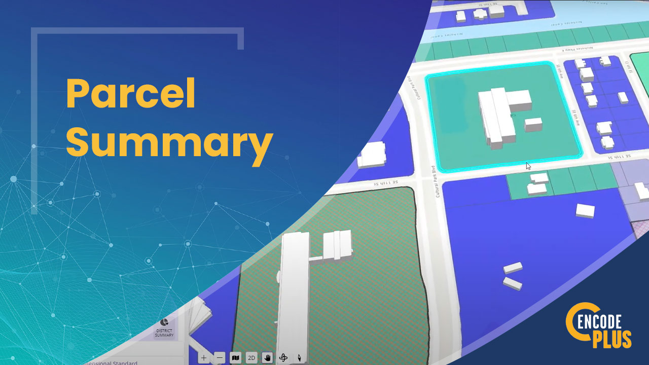
Simulate scenarios and visualizations with integrated GIS tools.
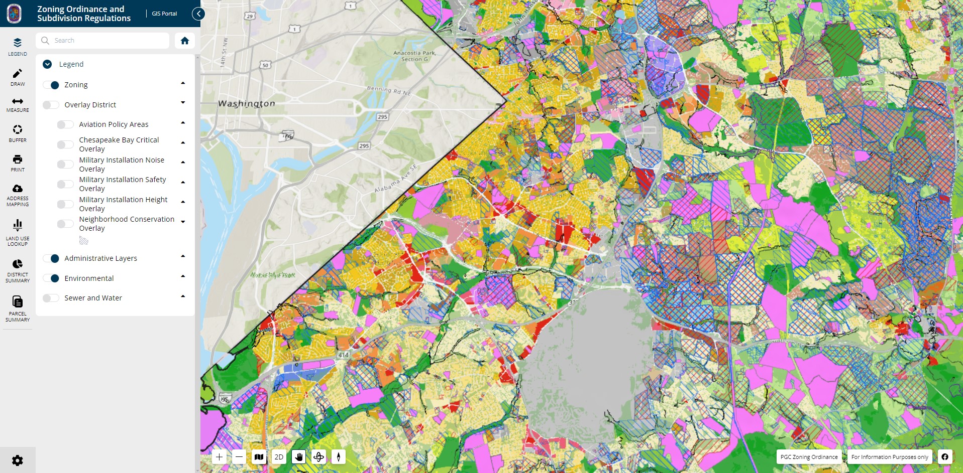
Our GIS-powered Zoning Compare Tool allows a user to examine existing and proposed ordinances, side by side, and to see what’s changing or left unchanged. Information and answers are readily available.
The integration of GIS mapping brings the regulations to life with clickable links and downloadable summaries that clearly highlight the differences between existing and proposed regulations.
You can both deepen public understanding of an ordinance and illustrate its subtle details by taking viewers on a 3D tour.
This can be particularly helpful in getting citizens and elected officials excited about a project, as well as marketing the community to developers and prospective tenants and employers.
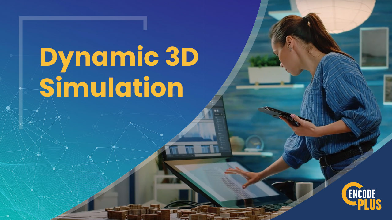
Dynamic 3D Simulation video
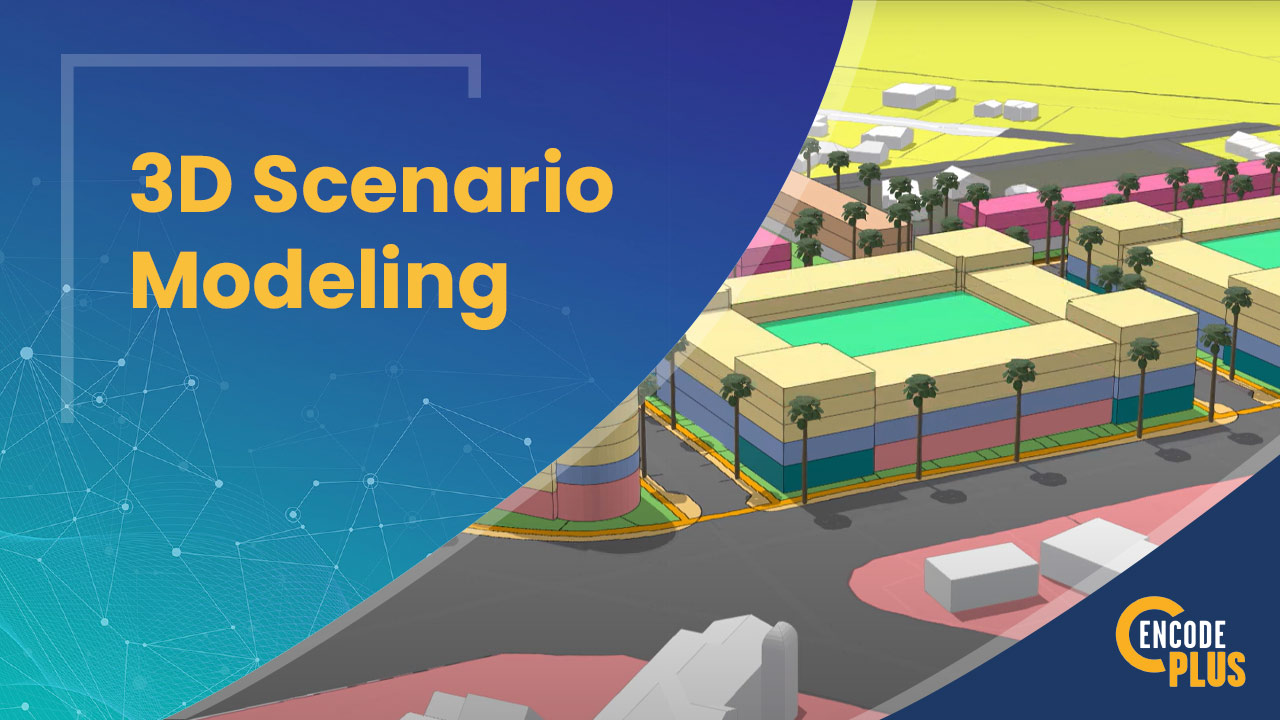
3D SCENARIO MODELING VIDEO
3D SCENARIO MODELING
3D scenario-modeling with ArcGIS Urban enables designers, decision-makers and neighbors to visualize the effects of plans and proposals on the built and natural environs. Alternatives can be compared and contrasted, and scenarios tested to mitigate impacts and increase benefits.
A realistic, interactive 3D model supports exploration of these scenarios in context and from multiple perspectives.
2D is Good, But 3D is Superior
BUILD A DIGITAL TWIN
In our not-in-my-backyard society, problems in 2D can be overcome in 3D. A digital twin is a real-world 3D model of built conditions. It can be used to evaluate growth scenarios, test development alternatives, envision a proposed project in 3D context, or simulate future conditions.
Why enCodePlus?
Our team of planning experts and former government staff has been in your shoes and we understand your challenges. We developed a municipal government software platform with powerful capabilities and the flexibility to customize features according to the unique needs of individual communities. We built enCodePlus for you!