Leverage Our Experts to Bring Your Plans, Projects & Ordinances to Life in 3D
Table of Contents - ArcGIS Urban
Help Stakeholders Visualize with ArcGIS-Powered 3D Renderings
Compare scenarios and tour proposed projects with clarity and insight
It’s difficult to understand what a new building will look like, anticipate how it will change the character of an area, and appreciate the impacts it may have.
Planners spend hours preparing maps and photos to convey this information to concerned neighbors.
Sometimes even good projects get denied.
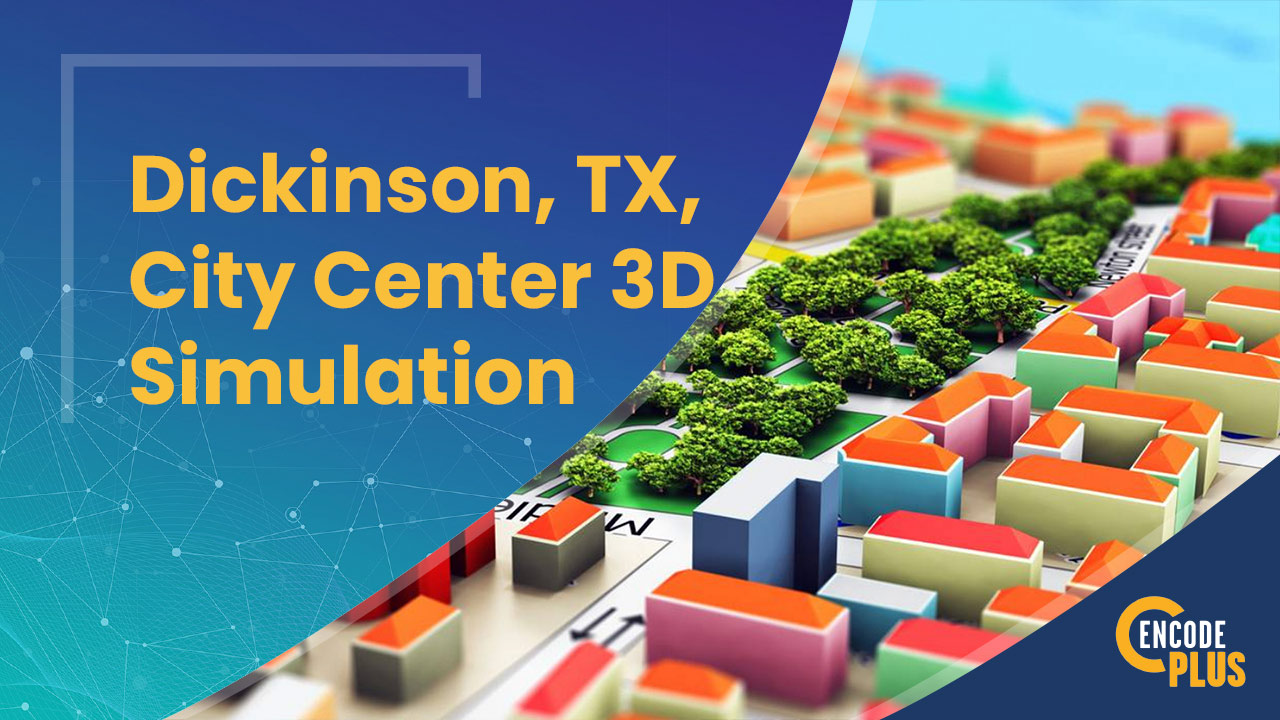
Render a project in three dimensions, and unlock an entirely new level of understanding. With our 3D Scenario Modeling services, you can visualize and compare potential developments in a new light.
Generate alternative scenarios on the fly
Measure the benefits
Quantify the impacts
Test levels of tolerance and acceptance
Produce a virtual fly-through tour of the preferred option to solicit consensus and gain approval
You can even create a real-world simulation to evaluate subsequent projects or market new investments.
The advantage of three-dimensional, visual storytelling over a simple narrative with maps and drawings is unmistakable. After all, if a 2D picture is worth a thousand words, a 3D model tells an even richer story.
Considering an infill housing project? How about redeveloping a downtown or an aged dysfunctional commercial center or corridor?
Testing development concepts, evaluating varying building types and forms, and gauging fiscal benefits has never been easier.
Sound difficult or costly?
No problem. We can build it for you or create an ArcGIS Urban model and teach you how to do it yourselves.
Compare scenarios side by side
3D SCENARIO MODELING
Our planning, zoning and design experts can help you use 3D scenario modeling powered by ArcGIS Urban to model, illustrate, compare and quantify potential impacts of various plans.
Creation of a 360-degree, animated experience from a flat 2D site plan can be a game changer when it comes to generating stakeholder and public official support.
Replace 2D plans, perspectives and renderings with a real-world simulation using ArcGIS Urban, together with other modeling, animation and virtual reality software tools.
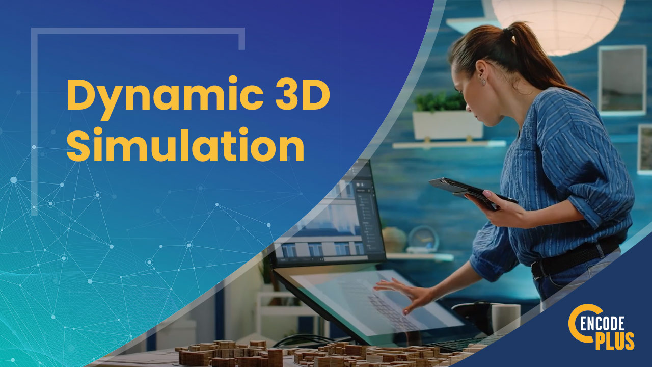
DYNAMIC 3D SIMULATION
Using simple 2D plans and elevations, our suite of visualization tools can produce 3D fly-over or walk-through videos of future development areas, targeted reinvestment sites, and proposed improvement projects.
Imagine the visioning and planning your community could do with the powerful, dynamic 3D simulation tools now available.
The long-awaited future of 3D is here.
experience a 3d fly-through
Don't start another project without the power of 3D modeling tools.
Why waste time with land use and zoning maps, sites plans and elevations, or even Photoshop when we can plan in realistic 3D environments? Let us show you how to create a 3D model for your next small area plan or redevelopment project.
Why enCodePlus?
Our team of planning experts and former government staff has been in your shoes and we understand your challenges. We developed a municipal government software platform with powerful capabilities and the flexibility to customize features according to the unique needs of individual communities. We built enCodePlus for you!