Integrate Zoning Tools to Streamline Property Research
Table of Contents - Interactive Web Mapping
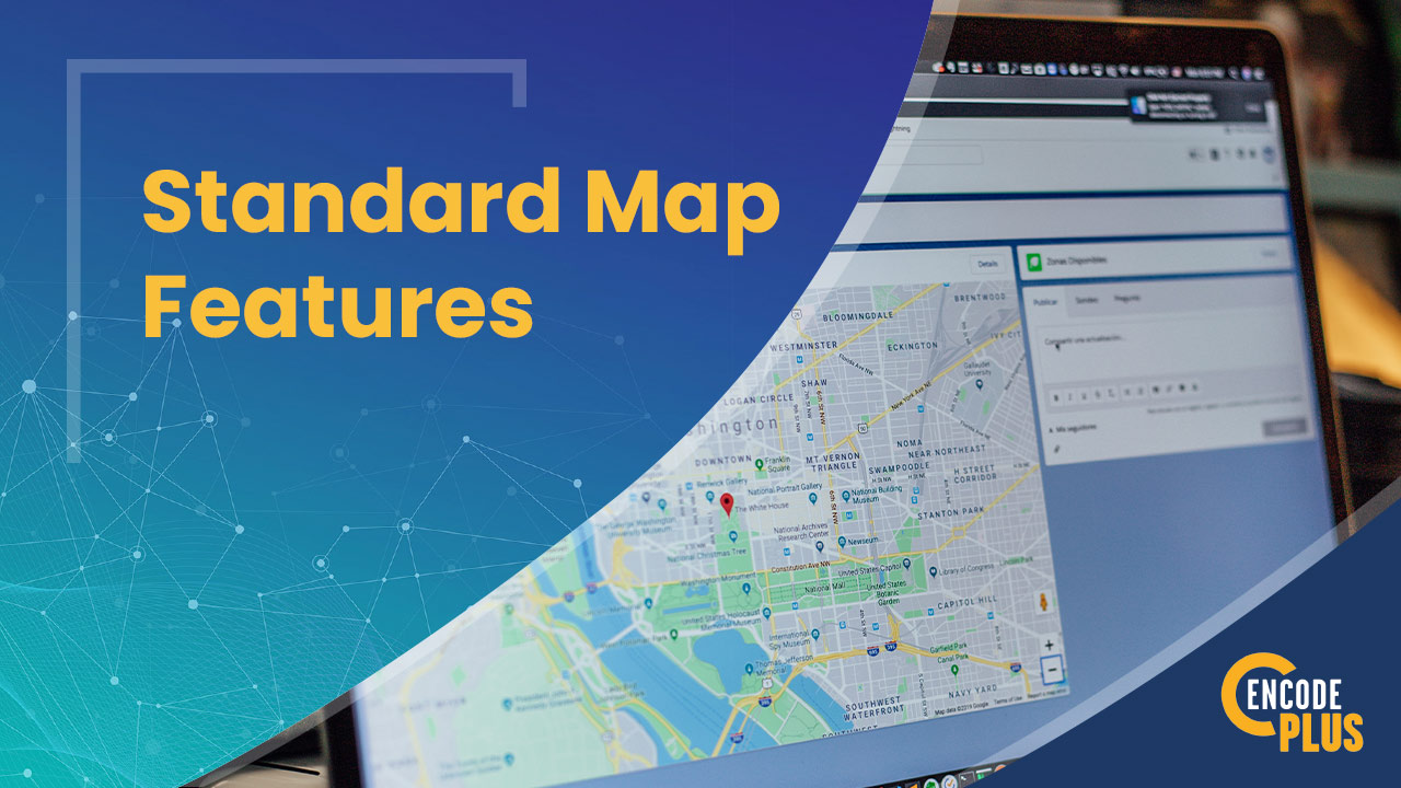
Discover Superior Esri-Powered Mapping Tools
Interactive GIS maps and relevant regulations...linked! All in one place!
Zoning research is time-consuming and resources are often disconnected. It takes a committed effort to flip between regulations and maps to gather useful information.
What if you could find everything you need on one website?
It’s absolutely possible with enCodePlus’ interactive web-mapping tools.
Select a radius around a point, parcel, polygon or line to identify parcels, owners, addresses, permits or zoning attributes. Downloadable reports can be used to generate public notices for parcel owners in the area.
Use 3D landscapes and building forms to visualize potential projects in a real-world environment.
Research applicable districts for land uses with the integrated, complementary land use lookup tool.
No technical skills are necessary to use these GIS mapping tools
From any browser, users can pan around a building or site, zoom in/out, and visually inspect it from nearly any perspective (including their own backyards!)
Don't wait another budget year to leverage the power of GIS with advanced zoning tools.
GeoZone was designed to support simple but powerful GIS-based zoning research:
Peruse zones for permitted land uses and applicable regulations, standards and conditions; or
Query by parcel ID or address to display property information, permits, approvals and other useful information on a map.
Built on the backbone of the industry-leading Esri infrastructure, GeoZone produces simple-to-use online maps that let users search and extract basic geographic information about a site or area.
Hyperlinked with relevant ordinances, plans, guidelines, specifications, and other information, these intuitive and interactive web mapping tools deliver in-depth property and zoning research and analysis.
GeoLocator - site-selection resources
The fully automated GeoLocator feature was designed to help you showcase development opportunities. It features for-lease and for-sale status of commercial properties, as well as key details like parcel ownership, real estate and market information, points of contact and relevant ordinance requirements.
Investors can navigate interactive GIS maps to shortlist potential properties, identify trends, explore data and analytics, review zoning district information, download reports, reference relevant third-party data, and seamlessly access otheronline GIS mapping tools.
The GeoComment tool supports citizen engagement with digital commenting linked to a specific map location. Use it to facilitate input, gauge sentiment or generate support for projects, plans and other initiatives.
Using a standard browser, a citizen can simply drop a pin on the map to leave remarks about a specific property, neighborhood or intersection. Others may “like” a comment or offer their own.
User-friendly, 24/7 public access ensures equal-opportunity input, and the curation tool allows you to moderate appropriate content.
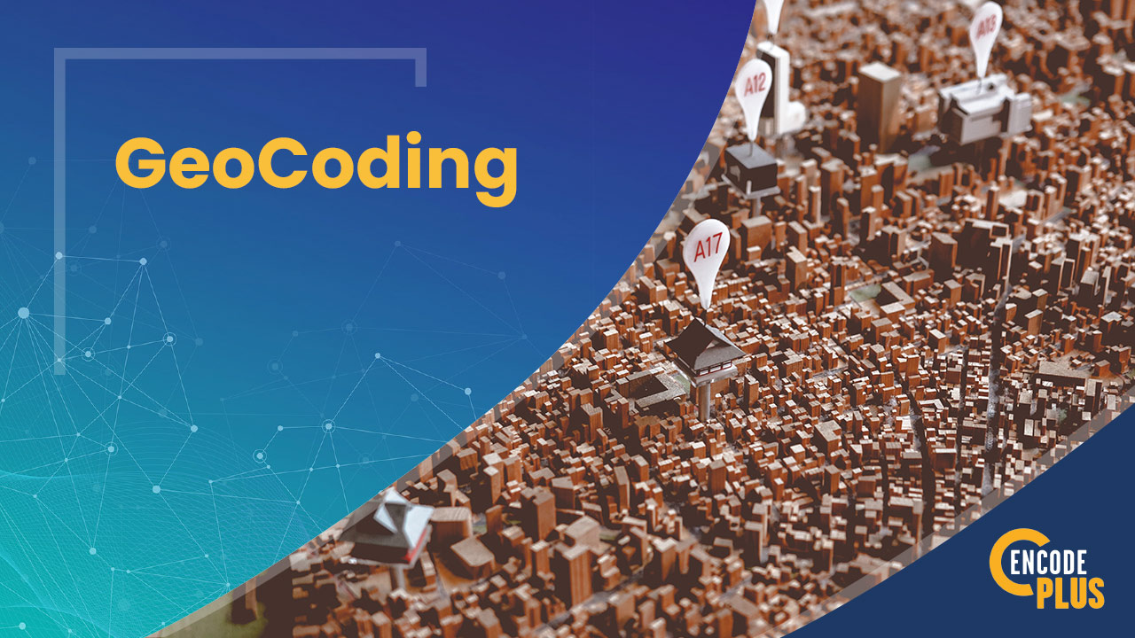
Geocoding Tool - criteria-based site search
Simply upload a list of addresses or parcel identification numbers to GeoCode. It will automatically geolocate the lots and parcels, mapping and displaying them for further research.
From there, the user can select sites on the map to learn about the property address and acreage; value of land and improvements; available infrastructure; its zoning and allowable land uses; lot area, setback, height and floor area; and pervious, impervious and building coverage restrictions.
With the click of a button, the GeoCoding Tool can print the full report, export it to Adobe PDF or share it via the build-in email system.
Just think of how useful this is for economic development, site selection and zoning entitlements.
GeoCoding research tool
Not Yet Proficient in ArcGIS?
NO PROBLEM. WE CAN HELP GET YOU THERE!
Many communities are not equipped with advanced GIS technology or the required skills, but we can help. By preparing and publishing the necessary data sets to a community’s ArcGIS Online Organization (AGOL), and configuring a specific web scene, we can help implement the initial operating capabilities for a planning solution using ArcGIS Urban.
This foundation allows a community to conduct meaningful planning tasks while positioning it to both expand their data and enable more advanced business workflows in the future.
Why enCodePlus?
Our team of planning experts and former government staff has been in your shoes and we understand your challenges. We developed a municipal government software platform with powerful capabilities and the flexibility to customize features according to the unique needs of individual communities. We built enCodePlus for you!