Leverage the Most Robust Suite of Esri-Powered GIS Planning and Zoning Software in the Industry
GIS (Geographic Information Systems) software and tools have become increasingly sophisticated and user-friendly in recent years.
Some GIS departments have kept pace with the latest advances while others have not. This is typically due to inadequate funding, unavailable staffing, or management’s failure to recognize the clear benefits.
WHERE DOES YOUR COMMUNITY FIT ON THE SPECTRUM?
The value of GIS is its near-limitless capacity to store, visualize, analyze, and interpret geographic data.
For local governments, the collection, management and maintenance of this data is critical to the infrastructure, facilities and services they provide.
Also described as “spatial” or “geospatial,” this data identifies the geographic location of these features, and can be used to capture, analyze, and report conditions, status and needs.
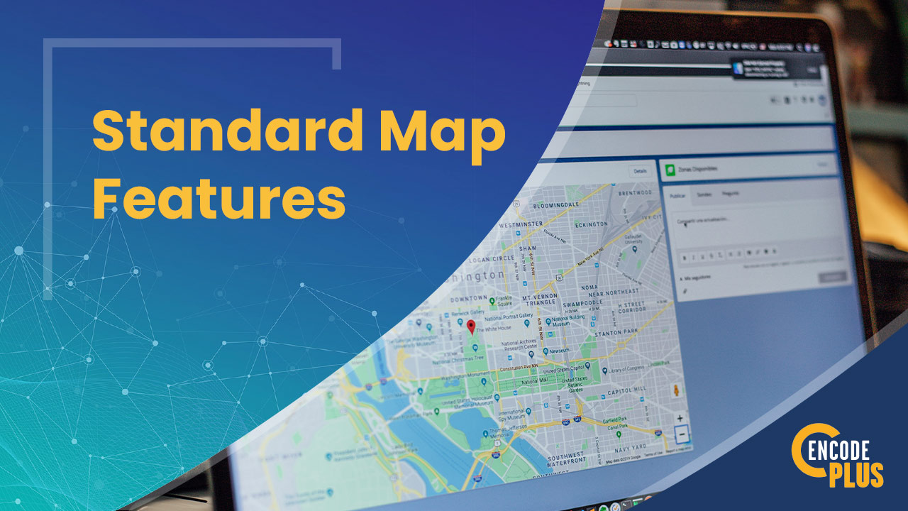
GIS is an essential decision-making tool for facilities management, capital improvement planning, infrastructure maintenance, development tracking, land use mapping and zoning analysis.
enCodePlus has harnessed the power of GIS technology to deliver an unmatched suite of planning and zoning tools.
Imagine…the ideal suite of municipal GIS planning software applications, purpose-built to deliver superior property and zoning research and analysis.
- Automated. No maintenance or manual intervention required.
- Intuitive. Built for both everyday users and professionals. No technical GIS skills needed.
- Integrated. Seamlessly integrated with your existing data sources, without modifying them in any way.
- Dynamic. Data and maps are dynamically integrated, meaning manual updates are unnecessary.
Based on a feature-rich foundation of intelligent Esri GIS technology, enCodePlus offers powerful analytical tools that reveal all the relevant planning and zoning data you could want. All in one place.
Need a custom-designed GIS tool to solve a unique challenge? Just ask.


What do clients say?
There is nothing else like the enCodePlus Land Use Lookup tool.
Our developers and citizens can easily find land use and district information themselves, making it timely and convenient for them and saving my staff a significant amount of time.
Plus, when there are requests, we are able to quickly reference applicable sections of code and either paste a link or convert and attach a PDF in an email to our customers.
It is slick and simple!
What are the unique benefits of our GIS applications?
One of the most exciting benefits of enCodePlus is the complete integration of tools and features. Codes, regulations, plans, GIS mapping tools – all your resources – are gathered in one place in an intelligent and easy-to-use online platform.
What does this mean to you?
- Better research and analysis
- Total accessibility
- More effective communication
enCodePlus was developed by former municipal and county planners, zoning authors and administrators, and consultants with real-world, local government experience that provides peer-level understanding of problems to create customized solutions that work.
Cutting-edge 3D visualization of development sites, neighborhoods and districts supports unmatched scenario analyses, generating instant results and exportable reports from property or district queries.
This innovative software eliminates duplication and saves valuable staff time while enabling coordination and collaboration across departments.
Robust, useful and dynamic, these powerful tools are low maintenance, delivering results well beyond what other systems can provide.
Rapid data availability and delivery enables timely, informed decision making by quantifying impacts and benefits of development scenarios in real time, essential ingredients for effective visioning, planning and scenario analysis.
The system uses 3D zoning maps that are both more understandable and more illustrative than traditional maps.
Not an ArcGIS Urban User, Yet?
NO PROBLEM. WE CAN HELP GET YOU THERE!
Many communities are not equipped with advanced GIS technology or the required skills, but we can help. By preparing and publishing the necessary data sets to a community’s ArcGIS Online Organization (AGOL), and configuring a specific web scene, we can help implement the initial operating capabilities for a planning solution using ArcGIS Urban.
This foundation allows a community to conduct meaningful planning tasks while positioning it to both expand their data and enable more advanced business workflows in the future.
Project Showcase
Littleton, CO
The Littleton Project
Littleton, CO
Prince George’s County, MD
Prince George's County Launches New Development Codes in an Interactive Format
Prince George’s County, MD
Manhattan, KS
Modernizing Manhattan, KS: A Collaborative Approach to Enhancing Development Ordinances
Manhattan, KS
King’s Mountain, NC
The Story of Kings Mountain, NC’s Unified Ordinance Journey with enCodePlus
King’s Mountain, NC
Cape Coral, FL
Cape Coral’s Innovative Approach to Online Land Development Documentation
Cape Coral, FL
Info & Resources: Links, Blogs & Videos