Zoning Tool Box

Integrate Zoning Tools to Streamline Property Research

Table of Contents - Zoning Tools
yt_zoningtoolbox
Play Video about ZONING TOOL BOX

Why You Need GIS-Powered Zoning Tools

Because, while zoning research is tedious and time-consuming, it doesn’t have to be!
Does this process look familiar?

It’s more complicated than simply looking up a map. As the infographic illustrates, you have to scour many sources to gather all the needed information.

The time commitment and frustration might make anyone second guess a development project. Residents and business owners shouldn’t have to hire an attorney, architect or engineer to open an in-home daycare or to build a garage!

It doesn’t have to be so hard. With the integrated GIS-powered tools in the enCodePlus tool box, zoning research is a cinch.

Plus – great news for you…

These tools are dynamic and fully automated. That means regular data uploads and downloads and manual efforts are unnecessary. Build it once, and the map and data reconcile in real time!

When zoning regulations are easy to navigate, gaining entitlements doesn’t drain valuable time or resources.

Click through to explore some of these useful tools:

UNIQUE FEATURES OF A TYPICAL ZONING ORDINANCE

Zoning regulations are the most researched and referenced ordinances in local government. They must be readable, understandable and accessible for the planners, designers, contractors and development applicants who use them
every day.

Don't wait another budget year to leverage the power of GIS with advanced zoning tools.

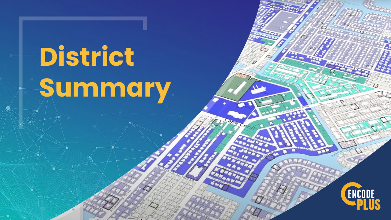
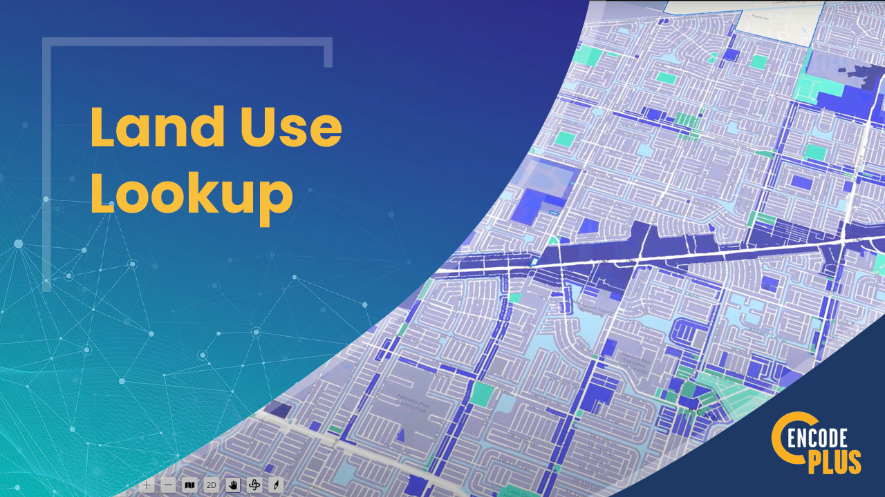
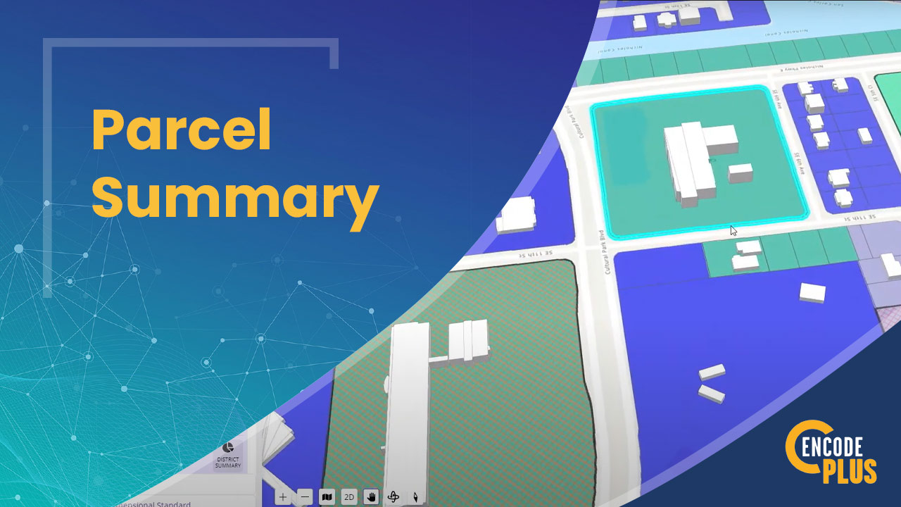
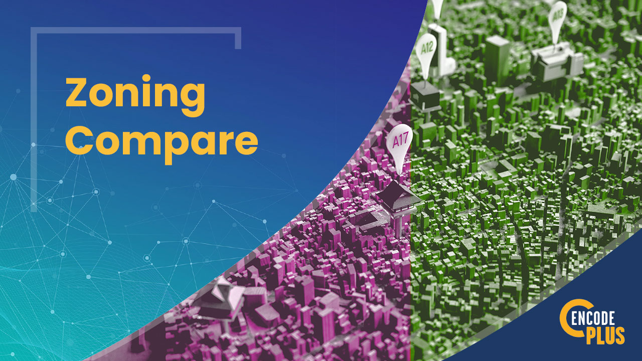
Our advanced suite of zoning tools harnesses Esri GIS technology to redefine GIS planning and analysis, providing a unified platform for comprehensive zoning and property insights.

  • Self-Updating: Streamlines data management with automatic updates.
  • User-Friendly: Offers an easy-to-navigate interface for all users, requiring no advanced GIS knowledge.
  • Integrated: Ensures smooth compatibility with existing data frameworks, enhancing planning processes without altering your data.

Built on a foundation of intelligent GIS technology, enCodePlus delivers essential zoning information tailored to meet even the most unique challenges, simplifying the planning landscape.

Not Yet Proficient in ArcGIS?

NO PROBLEM. WE CAN HELP GET YOU THERE!

Many communities are not equipped with advanced GIS technology or the required skills, but we can help. By preparing and publishing the necessary data sets to a community’s ArcGIS Online Organization (AGOL), and configuring a specific web scene, we can help implement the initial operating capabilities for a planning solution using ArcGIS Urban.

This foundation allows a community to conduct meaningful planning tasks while positioning it to both expand their data and enable more advanced business workflows in the future.

Why enCodePlus?

Our team of planning experts and former government staff has been in your shoes and we understand your challenges. We developed a municipal government software platform with powerful capabilities and the flexibility to customize features according to the unique needs of individual communities. We built enCodePlus for you!

Info & Resources: Links, Blogs & Videos

district summary video
Play Video about district summary video
land use lookup
Play Video about land use lookup
GIS Parcel Summary Video
Play Video about GIS Parcel Summary Video
gis zoning compare video
Play Video about gis zoning compare video

Need a quote or more info?

This field is for validation purposes and should be left unchanged.
By clicking the "Submit" button, you agree to have enCodePlus contact you. (Privacy Statement)

Contact Us

This field is for validation purposes and should be left unchanged.