
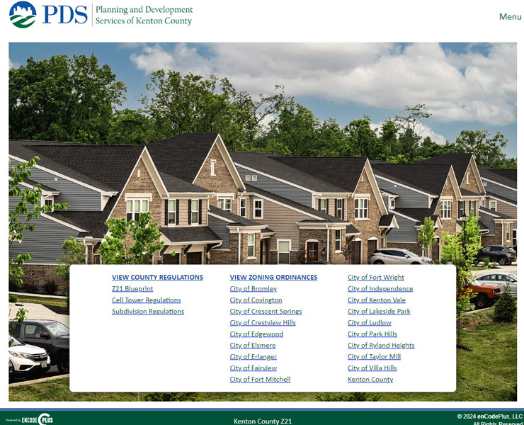
Kenton County, Kentucky is a unique client for enCodePlus with over 20 distinct sites contained within the overall County portal. These sites encompass 18 individual city Zoning Ordinances (including links to the City of Covington, which had an enCodePlus site prior to this County project) and three Zoning Ordinance and Regulations documents for the County as a whole.
Each city in the County is undergoing the process of updating their Zoning Ordinances based on an outline referred to as the Z21 Blueprint. This Blueprint document is also available to view in enCodePlus, and each city has a drafting site in which to work on its updates, which will replace the existing Zoning Ordinance when complete. In addition to the regulations, all sites are linked to an interactive map of the County and allow access to the archived publishing history of each individual city. Each city with a published Blueprint also has Quick Tables, and the City of Erlanger has a Land Use Look Up for citizens to view permitted uses by zoning district.
Between 2020 and 2023, six cities have been updated to their Blueprint Zoning Ordinances. enCodePlus will continue to work with the County to publish the new regulations as they are approved and ready for public use.
Automatically archives and provides historical versions of code sections.
Automated email notice of published document updates.
Customizable calculator for on-the-fly computing of bufferyard widths, screening types and plant types and quantities
Customizable calculator for on-the-fly computing of landscaping material types and quantities by location.
Customizable calculator for on-the-fly computing of total parking space quantities for cars, trucks and bicycles.
Customizable calculator for on-the-fly computing of sign types, areas, heights and locations by district.
Secure document storage and retrieval system. Search ordinances by number, date or keyword.
Fully customizable websites with branding, messaging, images, videos, color schemes.
Esri-based GIS map application designed for planning and zoning queries, analyses, and display.