Client Success: Littleton, CO

The Littleton Project

Background

Littleton’s historic downtown has done well to preserve its charm in spite of its overly permissive zoning ordinance. During development of their Unified Land Use Code, the zoning regulations for downtown were rewritten and their design guidelines were replaced with more definitive standards. The public eye was watching closely over this process to ensure the quality character was maintained and strengthen. The use of ArcGIS Urban was central to evaluating the effects of the proposed new regulations.

Problem

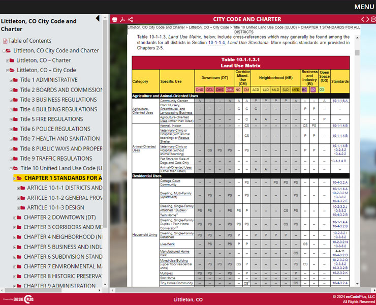
Given the age of the zoning regulations, they had to be completed rewritten. Also, a whole new approach was warranted to ensure infill, redevelopment, and new development contributes positively to the downtown building patterns and forms. Its difficult to glean whether the regulations would be successful based on tables of new dimensional standards. The big questions were:

• How much height is too much & what effect will it have on the overall character of downtown? • If we limit building height, will proposed development be economically feasible?
• Where do we draw the line?

Summary

A three-dimensional model was built of downtown. Infill buildings were constructed in SketchUp and placed in the model to test their compatibility as to scale, aesthetics, street activation, lot position and the means for transitioning buildings to those in adjacent district.

PROJECT DETAILS
Key Personnel: Sharon Cadena, Client Care & Operations Manager Alexys Irwin, Lead Build Associate
Project Duration: July 2020
Project Reference: City Manager

Outcomes:

• The 3D model was used effectively to facilitate community conversations and to decide on the appropriate building heights.

• The building height, placement and form standards were calibrated to match the input received during public meetings.

• The ArcGIS Urban model was published to the web enabling stakeholders and interested citizens to navigate it on a standard web browser.

• Four districts were created to guide future development and to stem the tide of controversial infill projects. • Future plans are to require future development applicants to submit 3D building models for contextual site plan review.

Need a quote or more info?

This field is for validation purposes and should be left unchanged.
By clicking the "Submit" button, you agree to have enCodePlus contact you. (Privacy Statement)
Premium Features
Tools & Features Used
  • ArcGIS Urban

    Visualizes proposed projects in context to understand real-world impacts.

  • Auto Notification

    Automated email notice of published document updates.

  • Content Assembler

    Collection and display of related items of content.

  • Custom Software Solutions

    Client-driven customizations to build new software features or applications.

  • Zoning Consulting

    Professional services to audit, amend, update or rewrite zoning and land development regulations.

Contact Us

This field is for validation purposes and should be left unchanged.