As part of their commitment to government transparency, the city of Savannah, Georgia, was searching for the best way to make their Code of Ordinances available to the public. They chose enCodePlus to host their code in 2019 because of the array of additional features available to ease the public’s accessibility and understanding of these complex municipal and planning regulations.
One of the many features aiding public use of the Code of Ordinances is the Regulations by District tool. This allows users to choose any of the city’s zoning districts and see a list of all portions of the Zoning Code that directly relate to that district, thus limiting time spent sorting through various regulations that do not apply to the user’s specific needs. Easy-identified district abbreviation icons colored by zoning map colors allow users to access the regulations of a specific district with just one eye-catching click. Another popular and useful tool is the Land Use Look Up, which shows a user in which districts a certain use is permitted. This tool integrates with GIS mapping services to provide a visual representation of where within the city the permitted use may be located with just one click.
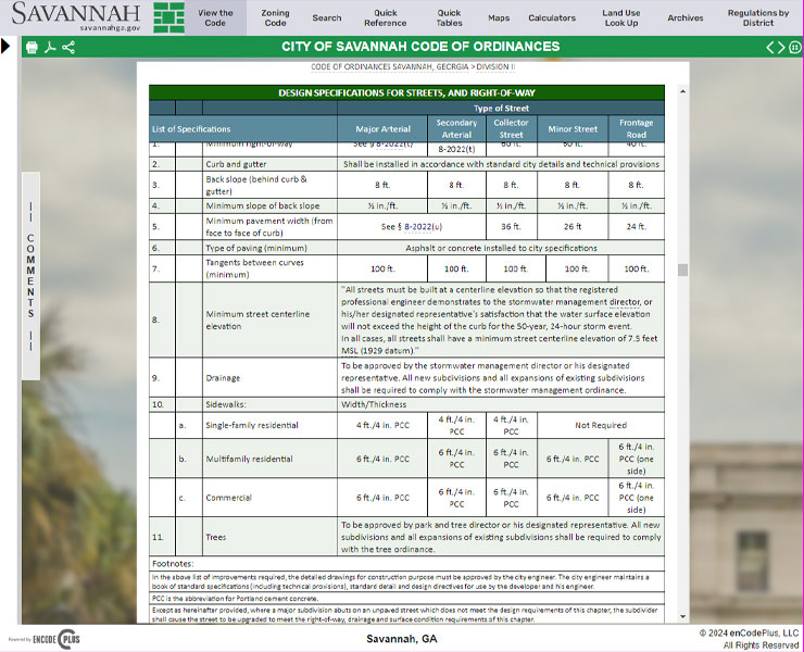
These features, combined with a robust search function, hyperlinked cross-references, pop-up definitions, an archive of previous full versions of the code text, and more, ensure that Savannah’s Code of Ordinances is easy to navigate and understand.
Online permitting system for application submission, payment, plan review, tracking and issuing permits and approvals. Includes mapping and reporting capabilities.
Automatically archives and provides historical versions of code sections.
Automated email notice of published document updates.
Customizable calculator for on-the-fly computing of bufferyard widths, screening types and plant types and quantities
Customizable calculator for on-the-fly computing of fee amounts for application filing and permitting.
Customizable calculator for on-the-fly computing of landscaping material types and quantities by location.
Customizable calculator for on-the-fly computing of total parking space quantities for cars, trucks and bicycles.
Customizable calculator for on-the-fly computing of sign types, areas, heights and locations by district.
Secure document storage and retrieval system. Search ordinances by number, date or keyword.
Codification or recodification of a code of ordinances.
Fully customizable websites with branding, messaging, images, videos, color schemes.
Comprehensive glossary with 40,000+ (and counting) planning and zoning terms. Regularly updated.
Source code held securely in escrow, available to client to ensure ongoing access.
Esri-based GIS map application designed for planning and zoning queries, analyses, and display.
GIS map of districts where specific land uses are permitted by-right or by condition or special exception.
Database of 3,500+ jurisdictions’ ordinances for sample legislation. Requires Administrator Access.