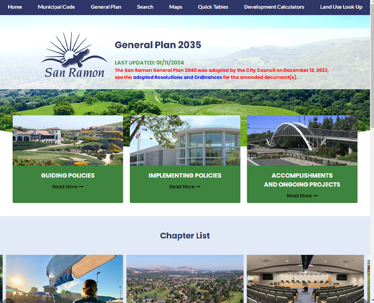
Public accessibility and Web Content Accessibility Guidelines (WCAG) compliance for plan and regulatory documents have recently become major points of concern for local planners in California. As leadership in San Ramon looked to move their Municipal Code and Zoning Ordinance into a more interactive and easy-to-update format, they realized the same could be done for their 2035 General Plan.
The scope of this project included:
Online permitting system for application submission, payment, plan review, tracking and issuing permits and approvals. Includes mapping and reporting capabilities.
Automatically archives and provides historical versions of code sections.
Automated email notice of published document updates.
Customizable calculator for on-the-fly computing of bufferyard widths, screening types and plant types and quantities
Customizable calculator for on-the-fly computing of landscaping material types and quantities by location.
Customizable calculator for on-the-fly computing of total parking space quantities for cars, trucks and bicycles.
Customizable calculator for on-the-fly computing of sign types, areas, heights and locations by district.
Secure document storage and retrieval system. Search ordinances by number, date or keyword.
Fully customizable websites with branding, messaging, images, videos, color schemes.
Comprehensive glossary with 40,000+ (and counting) planning and zoning terms. Regularly updated.
Source code held securely in escrow, available to client to ensure ongoing access.
Esri-based GIS map application designed for planning and zoning queries, analyses, and display.
GIS map of districts where specific land uses are permitted by-right or by condition or special exception.
Database of 3,500+ jurisdictions’ ordinances for sample legislation. Requires Administrator Access.