Client Success: Richmond, TX

Discover Richmond’s Digital Success with enCodePlus

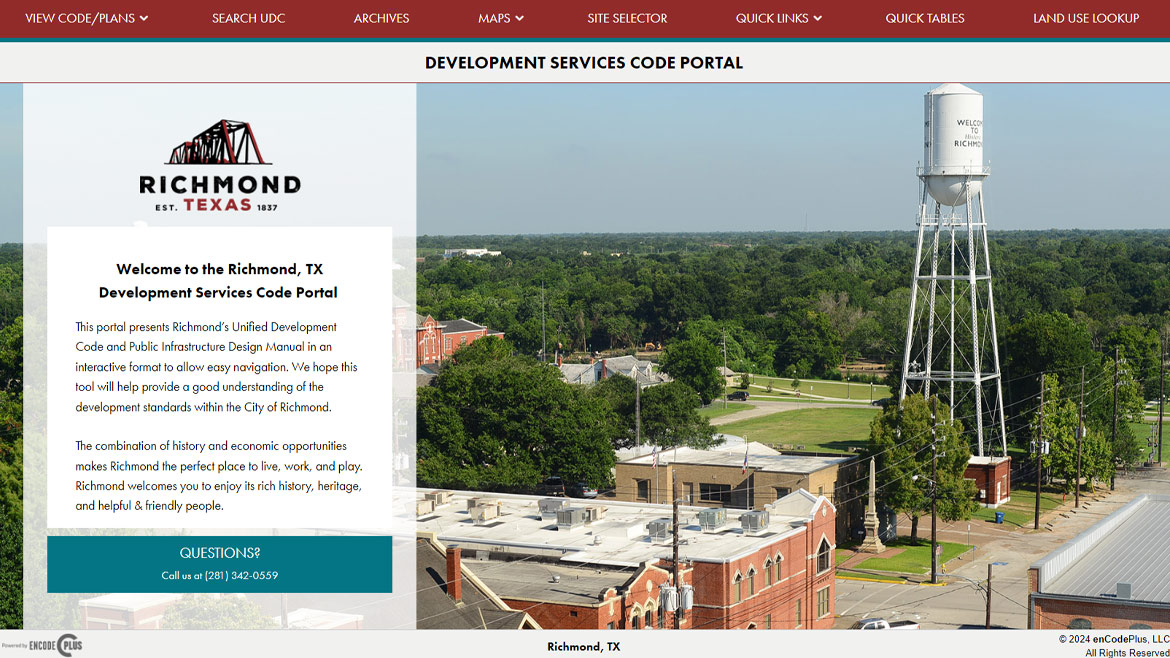
Since 2014, the city of Richmond, TX has hosted their Unified Development Code (UDC) with enCodePlus. They were drawn to the user-friendly appearance and standard features of the portal, which include hyperlinked internal cross-references, hyperlinked definitions, collaborative drafting capability, and search functionality.

Over the years, Richmond’s portal has expanded to include a Public Infrastructure Design Manual, and they are currently in the process of drafting their 2040 Comprehensive Plan using the CloudWriter software in partnership with Kendig Keast Collaborative. In addition, their custom site branding received an update in 2020 to keep up with changing web design trends and capabilities.

Premium features include GeoZone GIS tools with Site Selector and Land Use Lookup that let users identify landmarks, land uses, and dimensional standards by choosing a specific parcel on the map. Quick Reference Tables gather important and commonly-referenced tables from the UDC in one place, allowing users to quickly find information such as permitted land uses, parking requirements, permit needs, and more, without scrolling through pages of text.

“enCodePlus grows with you! Add Documents as time goes on, edit existing documents, or update the style of your portal to keep up with changing planning needs and digital trends. ”
PROJECT DETAILS
Key Personnel: Sharon Cadena, Client Care & Operations Manager Alexys Irwin, Lead Build Associate
Project Duration: August 2014
Project Reference: City Manager

Richmond contracts with enCodePlus for ongoing codification of their Unified Development Code, allowing our experts to handle publishing the text updates while they focus on keeping their city a desirable home for their residents.

Need a quote or more info?

This field is for validation purposes and should be left unchanged.
By clicking the "Submit" button, you agree to have enCodePlus contact you. (Privacy Statement)
Premium Features
Tools & Features Used
  • Custom Site Design

    Fully customizable websites with branding, messaging, images, videos, color schemes.

  • Escrow

    Source code held securely in escrow, available to client to ensure ongoing access.

  • GeoZone GIS

    Esri-based GIS map application designed for planning and zoning queries, analyses, and display.

  • GeoZone GIS Parcel Summary

    Instant access to parcel details like ownership, land and building value and district standards.

  • Land Use Lookup

    GIS map of districts where specific land uses are permitted by-right or by condition or special exception.

  • Project Website

    Dedicated project website for planning and zoning projects.

  • Site Navigator (Plan or Zoning)

    Organizes plans, ordinances and other document types into understandable sections and categories. Also referred to as Plan Navigator and Zoning Navigator.

  • Zoning Consulting

    Professional services to audit, amend, update or rewrite zoning and land development regulations.

Contact Us

This field is for validation purposes and should be left unchanged.