City planners and administrators know that their work is essential, and their citizens need easy online access to planning resources. In 2020, the city of Borger, TX was due for updates to their Comprehensive Plan, Downtown Revitalization Plan, Parks Master Plan, and Unified Land Development Ordinance (ULDO). They wanted a place online to host all of these documents as well as their full Code of Ordinances and joined with enCodePlus and Kendig Keast Collaborative (KKC) to complete this project. Over the course of two years, all five documents were updated, formatted with custom branding, and published through the enCodePlus platform.
A Document Gallery was then created to serve as a quick-reference landing page for the three future planning documents, highlighting important information for each plan and providing links to the document text. The portal’s eReader option also allows users to read the plans in a book-like format. Features to help users navigate and understand the ULDO and Code of Ordinances include hyperlinked cross-references and definitions, an interactive GIS map with Land Use Lookup, and Development Calculators for parking, development yield, landscaping, bufferyard, and signage requirements.
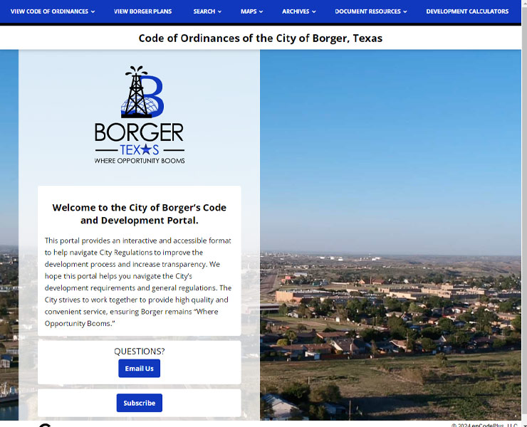
Borger’s staff and citizens now enjoy convenient online access to all of their important planning documents through enCodePlus, ensuring the city will continue to grow and develop with the times.
Automatically archives and provides historical versions of code sections.
Automated email notice of published document updates.
Customizable calculator for on-the-fly computing of bufferyard widths, screening types and plant types and quantities
Customizable calculator for on-the-fly computing of acres number of dwelling units per acre and per development.
Customizable calculator for on-the-fly computing of landscaping material types and quantities by location.
Customizable calculator for on-the-fly computing of total parking space quantities for cars, trucks and bicycles.
Customizable calculator for on-the-fly computing of sign types, areas, heights and locations by district.
Secure document storage and retrieval system. Search ordinances by number, date or keyword.
Source code held securely in escrow, available to client to ensure ongoing access.
Esri-based GIS map application designed for planning and zoning queries, analyses, and display.
GIS map of districts where specific land uses are permitted by-right or by condition or special exception.
Organizes plans, ordinances and other document types into understandable sections and categories. Also referred to as Plan Navigator and Zoning Navigator.
Professional services to audit, amend, update or rewrite zoning and land development regulations.