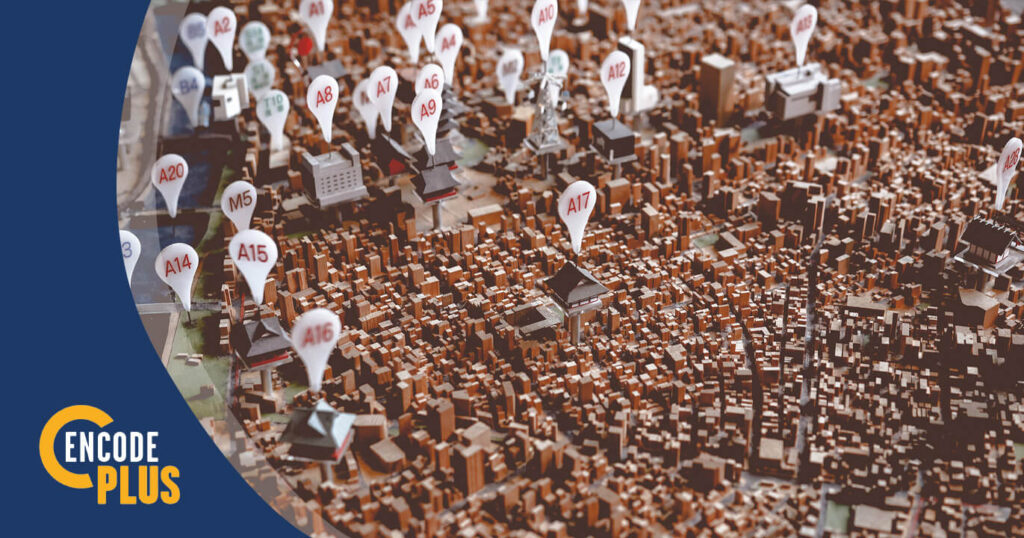
GeoZone is an easy-to-use, integrated 3D-mapping portal for end users – county or city staff and administrators, public officials, real estate investors, landowners and developers, design professionals or general citizens – a zoning tool to view and analyze the most current and accurate parcel and zoning information.
The map portal includes several 3D-enabled features, including draw, measure, buffer, search, geocode and print widgets. A powerful suite of optional premium features is designed to serve the everyday needs of multiple departments.
Information can be queried by address, parcel ID, or by selecting a lot on the map, which returns the zoning designation and description, along with links to applicable sections of the code, such as the district uses and dimensional standards; supplemental use requirements; parking, sign and landscaping regulations; and applicable procedures. The buffer tool may also be used to select a point, line or polygon to query all districts within a prescribed distance.
A District Summary Report may be printed, shared or exported to PDF, showing a chart of the relative acreages of one or more selected districts and the use permissions within each district. Each district may be turned on or off to narrow and update the report. For an individual parcel, the lot area and width, building setbacks and height, and other dimensions standards may also be viewed, exported as a report, printed or shared.
The District Summary tool integrates with the Land-Use Lookup tool, which identifies and maps all districts for which a selected land use may be permitted.
enCodePlus is a unique, web-based technology platform delivering a full suite of planning, zoning and municipal code tools and features, together with full or hybrid code management services. Created by the planning experts at Kendig Keast Collaborative, the platform serves planners and zoning administrators, clerks, attorneys, managers, economic developers, and consultant partners. The cutting-edge software streamlines the rejuvenation of the format and usefulness of plans, studies, codes and ordinances, design guidelines, standards and specifications and the processes to create and publish them.