From fragmented zoning information to a coordinated system.
Zoning is inherently complex.
Regulations, maps, and development standards are often spread across multiple documents and systems, requiring staff to search across sources, reconcile information, and piece together what applies in a given situation.
GIS may be available, but it sits apart from the regulations. Standards live in separate documents. Staff have to determine what applies from scratch with each new project or property.
When zoning information is fragmented in this way, it becomes difficult to navigate, interpret, and apply with confidence. Mistakes are more likely, questions increase, and staff time is consumed by answering the same issues repeatedly.
As a result, staff spend more time researching, cross-referencing, and responding to questions than applying zoning with clarity and confidence.
Zoning works differently when information is structured as a coordinated system.
How zoning can work as a coordinated system
Integration
Regulations and interactive GIS maps are integrated so users can toggle among documents and maps for seamless research.
Usability
The system is purpose-built for research with detailed summary reports, cross-references, development calculators and a land use lookup and other intuitive tools and features.
Accessibility
Regulations, related documents like design standards and manuals, GIS maps, and development tools are hosted together in one place for easy access.
Efficiency
Staff spend less time researching and answering questions when citizens are empowered to find and understand what applies.
When zoning information is structured as a coordinated system, it changes how it can be accessed, understood, and applied.
What modern zoning does
Modern zoning systems and planning software are effective when information, tools, and workflows work together.
These capabilities are delivered through integrated planning and zoning software that brings together GIS, regulations, and analytical tools into a single environment.
![]() delivers these capabilities as a coordinated suite of zoning tools and GIS-based planning software.
delivers these capabilities as a coordinated suite of zoning tools and GIS-based planning software.
Ensure zoning information is usable and always accessible
Zoning documents, GIS maps, and related tools should be easy to navigate and understand, with consistent access across devices at any time. This transparency allows staff, applicants, and the public to quickly find and interpret what applies without relying on multiple disconnected sources.
Interactive digital zoning documents and code publishing tools.
Reveal zoning in its geographic context
Zoning regulations should be connected to parcel-level data and interactive maps so users can see what applies in a specific location. This allows users to evaluate conditions, understand development potential, and interpret requirements within the real-world context of a property.
GIS maps and tools linked directly to relevant regulations.
Make complex zoning information understandable and actionable
Zoning documents should be structured and organized so users can quickly interpret and apply what is relevant to their situation. Clear navigation, assembled content, and intuitive organization reduce confusion and make complex regulations easier to use.
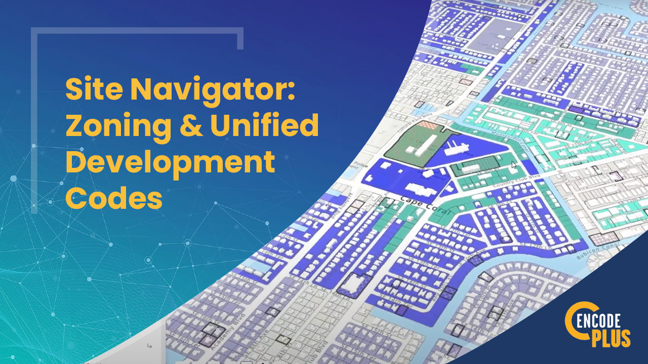
Zoning and Site Navigators offer intuitive navigation of complex documents. The Content Assembler aggregates all relevant references across documents and resources.
Replace manual research with immediate insight
Modern zoning systems should surface the information users need through structured summaries, lookups, and organized content. This reduces the need to manually assemble information and helps users understand what applies more quickly and accurately.
The standardized definition library and database of more than 3,500 ordinances from jurisdictions across the country streamline ordinance drafting.
Support zoning analysis and decision-making
Zoning systems should support data-driven decisions by clearly identifying what is permitted and what is required for a specific property or use. Integrated tools should surface applicable regulations, organize them in context, and support evaluation of requirements, allowing users to assess options clearly before engaging staff for final determination.
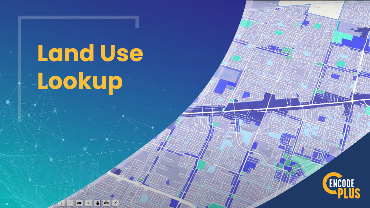
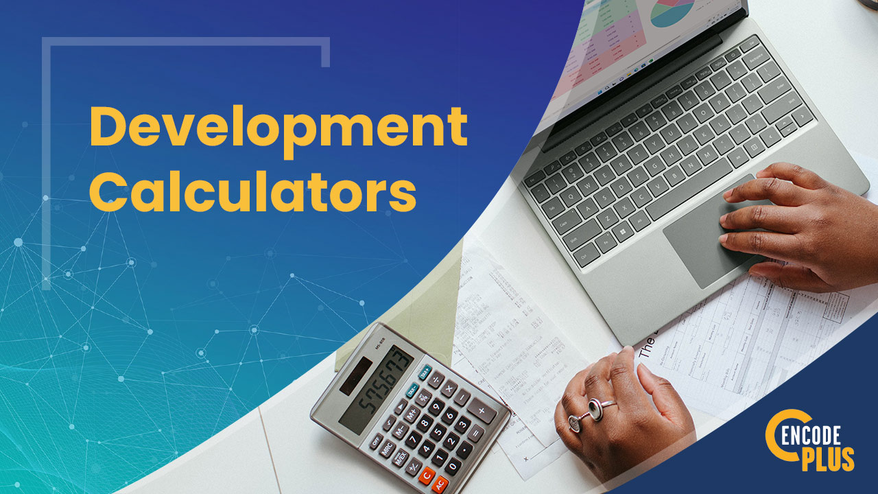
Powerful tools like the District Summary, Land Use Lookup Tool, SmartSearch, and Development Calculators simplify research.
Streamline application and review workflows
Applications and regulations should be connected so staff can review, track, and process approvals within a coordinated system. This reduces delays, improves consistency, and minimizes the need for manual coordination across departments.
AppTrak+ allows applicants and reviewers to track applications from submital through approval.
Enable active public engagement and participation
Communities should be able to share plans, collect input, and provide visibility into projects through accessible digital tools. This allows users to comment on parcel-level issues, track applications, and stay informed throughout the planning and approval process.
Simple tools and an interactive user experience ensure transparency and generate public feedback.


Common questions about zoning modernization
What is zoning modernization?
Zoning modernization is the process of transforming zoning regulations, maps, and development standards into a coordinated digital system that improves how information is accessed, understood, and applied.
What are the benefits of zoning modernization?
Zoning modernization improves how information is accessed and applied. Staff spend less time searching and assembling requirements, while applicants and the public can more clearly understand what applies to a property or project. By organizing regulations, maps, and tools into a coordinated system, communities can reduce confusion, improve consistency, and support better decisions.
What tools are used in zoning modernization?
Modern zoning systems combine GIS, regulatory content, and analytical tools to help users understand what applies to a property and evaluate development options.
Core modernization tools include:
- Interactive GIS tools that connect maps, districts, and regulations
- Land use and zoning analysis tools to identify what is permitted
- Parcel and district summaries that assemble applicable standards
- Development calculators to evaluate compliance
- Search and navigation tools that surface relevant information
Together, these zoning tools and GIS-based planning software function as a coordinated system, allowing users to move from question to answer without manually assembling information from multiple sources.
How does zoning modernization improve workflows?
Zoning modernization streamlines how information is accessed and applied. Instead of assembling details from multiple documents and systems, staff can work within a single environment where regulations, GIS data, and development standards are already connected.
This reduces time spent on research and cross-referencing, supports faster reviews, and allows staff to focus on analysis and decision-making rather than manual coordination.
Can zoning modernization work for small communities?
Zoning modernization can be scaled to fit communities of any size. Cloud-based systems make it possible for small and mid-sized jurisdictions to provide the same level of access, usability, and functionality as larger cities.
In many cases, smaller communities benefit the most by reducing staff workload, improving public access, and simplifying processes that were previously manual and time-consuming.

What do clients say?
enCodePlus has made our zoning work more manageable and adaptable. With the ease of use and the training provided, our zoning staff can easily keep track of interpretations to help us administer our code more consistently. We’re also able to denote needed updates using their digital platform. enCodePlus is helping us serve our customers well. I highly recommend this product and their services to other cities or counties.
What are the unique benefits of modernizing your zoning ordinances?
The intricate and data-driven nature of zoning practices is perfectly suited for the application of modern technological advancements. With enCodePlus, you’re empowered to harness industry-leading technology to transition your zoning practices to the digital realm.
What does zoning modernization mean to you?
- BETTER ACCESS
- MORE CITIZEN ENGAGEMENT
- ADVANCED TECHNOLOGY
Traditionally, land use ordinances have not been easy to find and have been even more difficult to understand. Using enCodePlus tools, this is no longer the case. Make zoning easy (or at least, easier)!
Help citizens find the information they’re looking for as easy and fast as possible. Save them an email, phone call or office visit by making information readily available on their phone, tablet or computer.
Implement enCodePlus’ tools and features in as little as 30 days. Display your ordinances in an online interactive format and use our lookup and navigation tools and one-click summaries to package information in an easy-to-understand format.
Demonstrate to management and your elected officials the cost savings and undeniable benefits of modernizing your zoning practices.
The results speak for themselves: always up-to-date, digital zoning regulations, improved search and navigation, built-in development calculators, direct links to the zoning map, and printable and exportable summary reports.
enCodePlus is a “must have” rather than a “nice to have”.
Administering ordinances can consume an inordinate amount of time. Added staff, delays in response and long meetings usually result.
The structure, organization, format and presentation of ordinances impact how they’re read, interpreted and used by staff, development applicants, reviewers and residents.
Well-written, intuitively organized documents designed for the end user can streamline processes, shorten time frames and make for a pleasant experience.
Are Your Regulations Still in the Dark Ages?
Over time, our ordinances become increasingly out-of-date, and technology is quickly antiquated. We muddle through and do the best we can with the tools at hand. Not optimal but understandable.
What if you could catch up and stay up to date with the leading technology and zoning and GIS tool? This is what’s possible when you modernize with enCodePlus. A small investment today yields ten-fold time savings for years to come. It’s worth it!
Project Showcase
Covington, KY
Journey from Code Update to User-Friendly Code Portal
Covington, KY
Kenton County, KY
Kenton County’s Zoning Evolution: Managing Multiple Versions of a Base Code in enCodePlus
Kenton County, KY
Littleton, CO
The Littleton Project
Littleton, CO
Washington, DC
Commits to Zoning Regulation Transparency, Launches "Unofficial" Online Portal
Washington, DC
Des Moines, IA
Des Moines Revamps Zoning Ordinances with enCodePlus for a Modern and User-Friendly Online Experience
Des Moines, IA
Copperas Cove, TX
Copperas Cove Updates Code and Creates a Visually-Appealing Portal with enCodePlus
Copperas Cove, TX
Winter Park, CO
Sustainable Development Code Overhaul
Winter Park, CO
Info & Resources: Links, Blogs & Videos

MORE RESOURCES
- Content Assembler VIDEO
- District Summary VIDEO
- Document Summary VIDEO
- GeoComment VIDEO
- Public Engagement VIDEO – Coming soon!
- Customized Development Standards Calculators BLOG
- How To Codify Form-Based Codes, Design Guidelines & Other Complex Documents BLOG